Nature
Between the villages, you will encounter magnificent nature. You will pass through Vejle River Valley and by the source of the Gudenå River.

Dive into the history of the villages as you hike or bike along Rans Togt. The route follows the old country roads from village to village, each with its own unique character, history, and life.
Join Rans Togt and get to know some of the Danish villages a little better.
The route is designed to open up the stories of the villages. It’s about the people in the villages - the fun ones, the quirky ones, and those with deep roots in the local community. They can tell exciting and amusing stories about what makes their village special.
So, be sure to talk to the locals and get the intimate stories from life in the villages.
Enjoy!
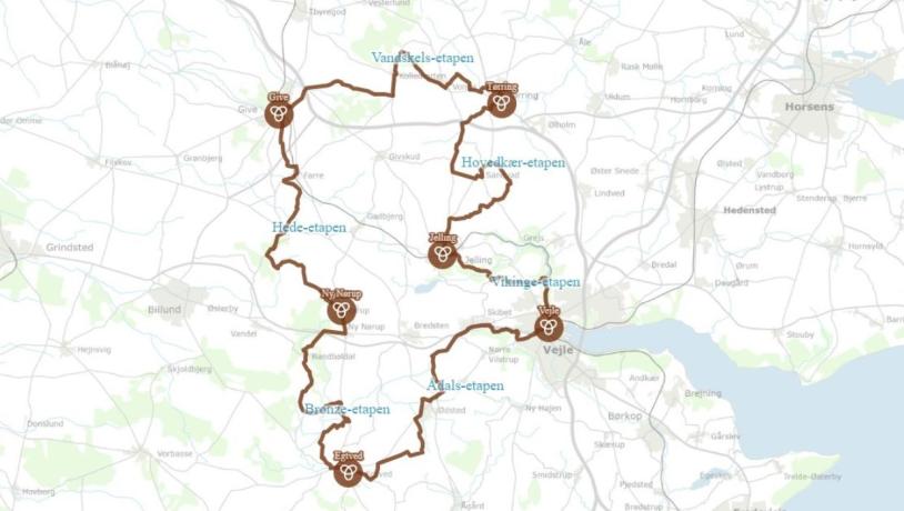
Facts about Rans TogtLength: The route is 139 kilometers long and has six stages Fun fact: The route is named after the Bronze Age King Ran, who, according to legend, was buried in the mound right next to Randbøl Church after he fought a battle in Kongsdalen near Gødding. Four of his men were buried in Firehøje, about 500 meters north of King Ran’s Mound. |

Here you can find the online map of Rans Togt. The cycling route deviates only slightly from the hiking route. You can also find a physical map of the route at VisitVejle at Banegårdspladsen 8, 7100 Vejle.
There are a total of six stages along Rans Togt, and you will pass through 14 villages.

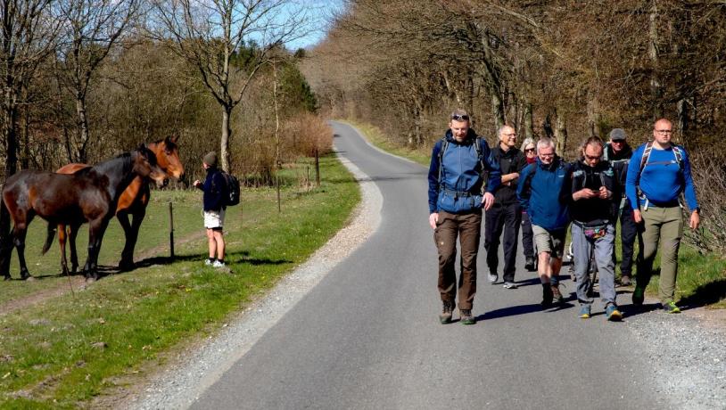
You can confidently lace up your hiking shoes in any weather. Rans Togt primarily follows paved roads, and therefore you can complete the route in almost any weather.
If you’re bringing your dog along, remember that it must be on a leash