Idyllic walks in nature
Take a nice walk in nature in Vejle and enjoy the birdsong, the sun - or the rain - on your face and come home with red cheeks and a lot of good experiences in your backpack.
We guide you to a selection of nature walks in Vejle and the surrounding area. All routes take between 2 and 5 hours to walk. Here, the plan is for coziness, a break from everyday life and wonderful nature experiences.
You can find even more routes on the webpage of Vejle Municipality.
Grejsdalstien
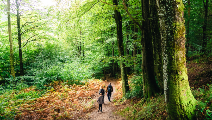
The Grejsdalstien is an excellent hiking route between Vejle and Jelling. The route takes you through Grejsdalen, one of Denmark's deepest and most beautiful valleys. Brandbjerg Sønderskov is a special natural gem on the road. Here, the forest has been untouched since 1997, and is particularly rich in rare plants and fungi.
Good to know about the Grejsdalstien
The 16 kilometer marked route takes approx. 3-5 hours to walk. There are several natural places where you can make a stop and enjoy some food or a cup of coffee. In Brandbjerg Sønderskov you will also find a wonderful shelter site.
The route is not a round trip, but rather from A-B. You can easily take the train or bus from Vejle to Jelling or vice versa.
If you are driving, you can see an overview of parking in Vejle here.
The route starts behind Vejle Hospital at St Grundet Skovvej and ends in Jelling at the experience museum Kongernes Jelling.
At Brandbjerg Højskole, close to the path, it is possible to use the public toilet by the fire hut.
Vejle Egtved Ådale
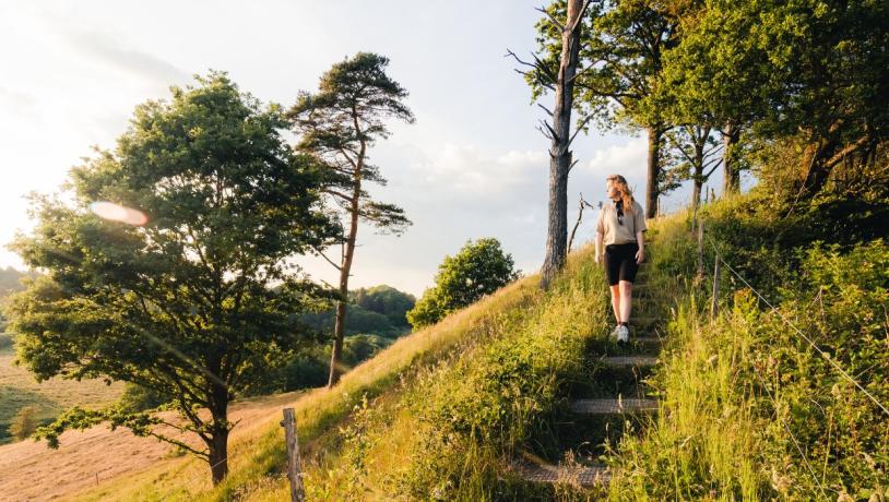
The hiking route goes through some of Denmark's most beautiful nature, and you will experience fantastic views over the river valleys by the Vejle and Egtved rivers. You come up and down both Vejle and Egtved river valleys on the route. You will, among other things, past Runkenbjerg, where you can enjoy the spectacular view over both Vejle river valley and Egtved river valley.
Good to know about the route
The 12.5 kilometer marked route offers 338 meters of altitude in hilly terrain, and it takes approx. 4-5 hours to walk. The route is a round trip, so you come back to the same place where you started.
You can make a stop at Bindeballe Købmandsgård, where you can get a good cup of coffee or a piece of delicious cake. You can also enjoy your brought food at Bindeballe Station. In both places you will find a toilet.
There is also a shelter site at Bindeballe Købmandsgård.
You will find parking in several places along the route. You can find them via the link below.
Kongens Kær and Knabberup Sø
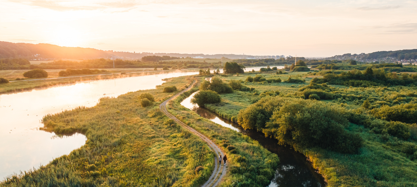
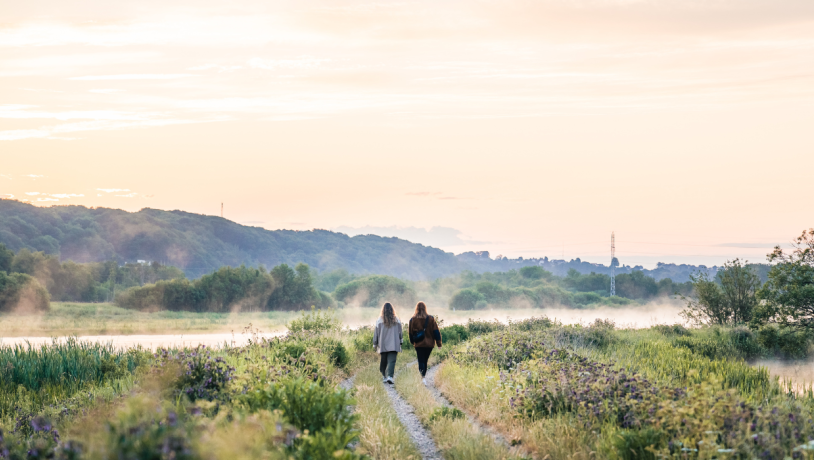
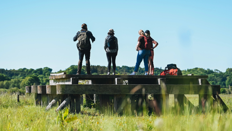
Close to the town of Vejle, you will find this continuous lake and wetland area, reminiscent of a mini version of Central Park in New York. The area offers a rich birdlife, and you may be lucky to spot the sea eagle. Take a trip past the bird tower and enjoy the fantastic view of Kongens Kær. Here you can also enjoy a cup of coffee or something else.
Good to know about the route
The route is an A-B route of 5 kilometers. But you can make it a round trip, as the path connects to Bindeballestien. This makes the route about 8 kilometers long, and takes approx. 2 hours to go. At the anglers' clubhouse, you can follow the path under the motorway, and connect to the Bindeballestien.
You can park in several places in Vejle city. You will find an overview of nearby parking spaces by clicking on the link below.
Højen and Mølholm Ådale
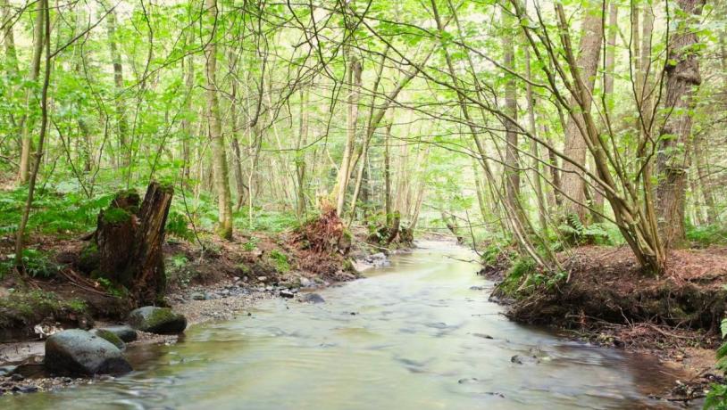
On this trip, you will pass through narrow meltwater valleys with beautiful, old hillside forests and bright open meadows. You walk along rippling streams and meet the city by the stream and the fjord.
Good to know about the route
The hiking route is a round trip of 19.3 kilometers and is clearly marked with orange arrows. It has no steep sections and the route follows good gravel paths most of the way.
On the stretch in Vejle river valley through the cities of Vejle and Skibet, you mostly walk on pavement and asphalt.
You are welcome to bring your dog along, as long as you keep it on a leash. In the dog forest that you pass in Sønderskoven in Mølholm river valley, you can let your dog free.
It takes 3-5 hours to walk the route, and there are good opportunities for a rest along the way, where you can sit and enjoy the nature around you.
You will find a public toilet in Sønderskoven.
You can find parking via the link below.
Børkop Kærlighedssti - The Love Path in Børkop
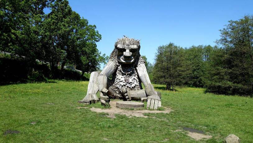
The name, The Love Path, is not chosen by chance. In the old days it was a popular walk for young couples in love. The route starts at the beautiful Børkop Water Mill. Here you can both enjoy a good bite of food at Restaurant Børkop Vandmølle and see tools from agriculture as they were used more than 50 years ago in the local history museum 'Farbror Svends Samling'. The route takes you through open landscapes, urban environments and forests - and of course past the troll, Ene Øjesten.
Good to know about the route
The route is 8.5 kilometers and takes approx. 2 hours to go.The route is marked with purple signage and takes you through varied terrain. You walk along both asphalted roads, gravel and nature trails.
Parking is available at Børkop Watermill.
The route is circular, so you come back to the same place where you started.
Click on the link below and find an overview of several car parks and public toilets.
Blue route on Randbøl Heath
Experience the wild nature in one of Denmark's largest inland areas, Randbøl Heath. In August, the heather blooms so beautifully that you would think you were in the South of France with the beautiful lavender fields. The route here takes you past everything Randbøl Heath has to offer. Don't pass the chance to go past Frederikshåb Plantation, which is right nearby. Here, too, you will experience beautiful nature.
Good to know about the route
The route is 10 kilometers and takes approx. 2 hours to go. The route is marked with blue markings, but be aware as they are marked on stones in some places which can be easy to miss.
You start the route at Kirstinelyst, where parking is available and there is a toilet. You also have the option of spending the night in a shelter, cooking over a fire or eating your lunch at the benches. If you are interested in the nature and history of the area, you can take a closer look at the exhibition, which you will also find here. For a good lookout over the heath, you can take a trip up the bird tower.
The route is circular, so you come back to the same place where you started.
Black clover path, Nørreskoven in Vejle
On this route you get around the entire Nørreskoven. You will pass the forest's oldest beech trees, which were planted back in 1710, and you can enjoy the view over Vejle Fjord in several places. Make a stop at Dyrehaven and see the beautiful fallow deer and sika deer. You can also make your way past the beautiful Skyttehushaven and Restaurant Skyttehuset.
Good to know about the route
The route is a round trip of 10 kilometers and takes approx. 2 hours to walk. You must expect hilly terrain in the forest, and if it's raining, rubber boots are a good idea.
You will find toilets at Helligkildehuset and Skyttehushaven.
You can find parking and much more via the link below.
Red clover path, Sønderskoven in Vejle
On this route you will go on a Danish safari. Here you will pass several natural areas that are home to many different animals. You will pass Store- and Lille Helvedshul, two significant dead ice holes where deer and foxes live. In Pedersholm Forest you will find a large badger grave. Kongens Kær is a bird's paradise, and in addition to hooded gulls and black-necked grebes, you may also be lucky enough to see the sea eagle. In the Højen river, which is one of Denmark's cleanest streams, many different water insects live, which are food for a wide range of animals, including water starling, mountain wagtail and sea trout.
Good to know about the route
The route is 8.2 kilometers and can be walked in about 2 hours.
You will find a public toilet in Sønderskoven, where there is also a forest playground and a dog park.
Remember to wear rubber boots if it has rained.
You can park in several places. You can find the car parks by clicking on the link below.
The route is circular, so you come back to the same place where you started.
Vork Bakker-Ødsted Skov-Bindeballestien
The route takes you through the hillside forest of Ødsted Skov and the edge of the hills of Vork Bakker with gorges, hilltops and great views. The route follows part of Bindeballestien, and takes you past Ravningbroen, which is a reconstructed bridge of the bridge that Harald Bluetooth had built in the Viking Age. You will also pass Vingsted Iron Age, where you can see how people lived in the Iron Age.
Good to know about the route
The route is a suggested tour and is not marked. It is 8 kilometers long and can be walked in approx. 2 hours.
There are toilets at Ravningbroen and Vingsted Jernalder. You can also park in both places.
The route is circular, so you come back to the same place where you started.
Wear good footwear as you will be going through forests and gorges. The Bindeballestien is asphalted.
